/prod01/prodbucket01/media/durham-university/departments-/geography/Matt_Couchmann-3872X1296.JPG)
Machine learning approaches to automatically detect boulder distribution and transport in mountain rivers
Project overview
Convolutional neural networks (CNNs) can automatically map sediment grain size distributions on exposed river beds, using georeferenced aerial images acquired using UAVs. With repeat surveys it is also possible to explore how sediment grain size distributions change through time, and specifically how the position of the coarsest sediment fraction (boulders) evolves. Boulder cover in bedrock rivers modulates how quickly rivers incise, and boulder mobilisation by extreme flows represents a significant hazard to mountain communities. Understanding how boulder distribution varies in response to flow and channel morphology will aid in future hazard prediction and mitigation. Presently, mapping and identification of boulders relies on time-consuming field mapping, or from manual detection in aerial photography which is often difficult to obtain over large spatial areas. This project would make use of existing CNN approaches to automatically maps patterns of sediment grain size in an upland bedrock river system. The key research questions are:
- How are boulders and coarse grain sizes distributed in bedrock channels?
- How does coarse sediment distribution change in space and time in response to peak flow events?
- To what extent is boulder distribution controlled by channel morphology?
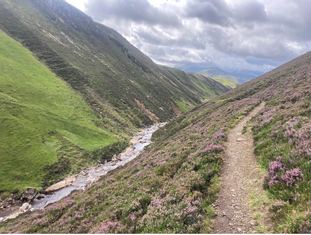
The project will utilize new data from the Scottish Highlands, and the student will carry out at least one additional field survey. Field methods will include high resolution aerial imagery acquisition (using a UAV), geomorphological mapping and topographic surveys of bedrock morphology. The student will also be required to work with CNN models, meaning there are ample training opportunities.
If you are interested in this project, please contact the lead supervisors:
Dr. Elizabeth Dingle: elizabeth.dingle@durham.ac.uk
Dr. Patrice Carbonneau: patrice.carbonneau@durham.ac.uk
Key references
Lang, N., Irniger, A., Rozniak, A., Hunziker, R., Wegner, J.D. and Schindler, K., 2021. GRAINet: mapping grain size distributions in river beds from UAV images with convolutional neural networks. Hydrology and Earth System Sciences, 25(5), pp.2567-2597.
Shobe, C.M., Turowski, J.M., Nativ, R., Glade, R.C., Bennett, G.L. and Dini, B., 2021. The role of infrequently mobile boulders in modulating landscape evolution and geomorphic hazards. Earth-Science Reviews, 220, p.103717.
Carr, J.C., DiBiase, R.A., Yeh, E.C., Fisher, D.M. and Kirby, E., 2023. Rock properties and sediment caliber govern bedrock river morphology across the Taiwan Central Range. Science Advances, 9(46), p.eadg6794.