/prod01/prodbucket01/media/durham-university/departments-/physics/cfai/CfAI-Webpage-Banner-smaller.jpg)
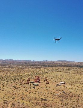
To ensure the accuracy of the data created by uncrewed aerial vehicles (UAVs)-based remote sensing, time must be taken to marry the scientific payload to the aerial platform to ensure that the performance of one doesn’t negatively effect that of the other. This process sometimes necessitates designing and building bespoke flight plaotforms. CfAI’s remote sensing group has built rotary, fixed-wing and parachute-based systems which have deployed in a variety of locations, from hovering a kilometre above a telescope array, to being dropped from the edge of space.
Multi-band Imaging
Surveying areas with images at multiple discrete wavelength-bands, referred to as multi-band imagery, has been the hallmark of early UAV-based remote sensing work. To optimise this approach, the remote sensing research group is combining its strengths in imagery instrumentation and astronomical data analysis to optimise the wavelength bands for different use cases, with a view of improving sensitivity, and stream-lining data analysis for end-user.